Wednesday
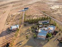
Photosynth Point Cloud of Paramore Crater
Microsoft's Photosynth has an interesting feature that is particularly applicable to aerial photosynths. Below is the point cloud from Flying below ground level that I created by circling up and out of the crater while photographing the interior. The data points create a nice 3D rendering of the crater which can be viewed by clicking on the second button from the right and choosing "overhead". This will bring up a complete view of the crater based on the point cloud.


Subscribe to:
Post Comments (Atom)


No comments:
Post a Comment