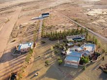
As mentioned in earlier posts, a number of the low level aerial photographs taken from weight shift control aircraft have been submitted to Google Earth for inclusion on the map. Below is an interactive Google Earth map with many of the photographs from the project.
Saturday
Subscribe to:
Post Comments (Atom)


No comments:
Post a Comment