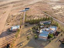
In the process of documenting the bootheel a number of techniques have been used, not all of which lend themselves to viewing in Google Earth. Large panorama photographs, tiltshift modified photos, and photosynths have all been created. Each technique is a slightly different way of "seeing", and each brings something unique to the subject photographed.
Maps with photographs from the Bootheel Photodocumentation Project currently include:
Google Earth
Flickr
bing maps

I still hold a fascination for erosion features (rills) found across the bootheel. The summer monsoons can generate a lot of water in a short period of time and the patterns the water creates on the desert surface can only be appreciated from the air.


No comments:
Post a Comment