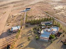
Flew back across the bootheel to Playas Valley this morning for some more photography. Below are several images of drainages in Playas Valley processed with tilt shift software. Most of the photographs were taken at an altitude between 50' and 100' AGL. This technique works quite well with low level images and is recommended it to anyone photographing the landscape.
Of course the Border Patrol was there as usual as backup.
Click image to enlarge

Inverted tilt shift modified desert drainage. Inverting the photograph gives the appearance the drainage's rise out of the desert floor.

Desert tilt shift

Draining the Desert


No comments:
Post a Comment